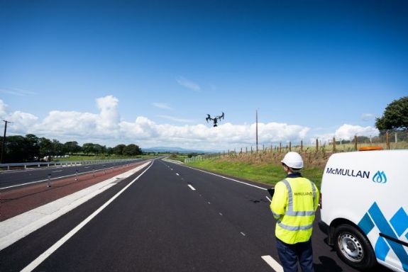
E McMullan Ltd were recently asked to provide aerial images
of the newly completed section of the A6 Randalstown to Castledawson Dualling
Scheme for the client GFJV. This was carried out using an DJI Inspire 1 Pro
Quadcopter with a Zenmuse X5 camera
Our professional surveying UAV, the Sensefly eBee, was also
used for a pre-construction LiDAR flyover of the entire 14km scheme in 2015,
providing the client with a full 3D Point Cloud Model of both Zone 1 and Zone 2
...
News
E McMullan Ltd now providing BIM services
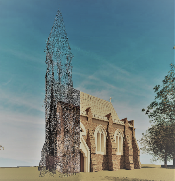
E McMullan Ltd are pleased to announce that we are now offering a range
of BIM services. Using our full Autodesk Software Suite and Advanced Surveying
Technologies, our in-house BIM Technicians collaborating alongside our
experienced Surveyors & GIS Technicians can offer a range of services to suit
your needs.
Our
state-of-the-art laser scanners and mapping drones have the capabilities of
producing highly accurate point cloud data which we can now use to produce
highly accurate surveys in a range of formats and services.
&nb...
Trimble SX10 Scanning Total Station
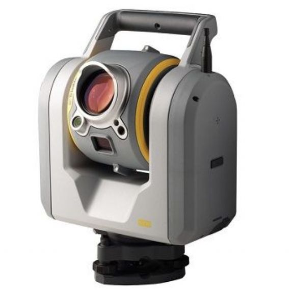
E McMullan Ltd
continuously strive to collect the most accurate results possible and as
efficiently as possible. To help us provide the very highest quality results, we have added the Trimble SX10 Total Station to our
growing range of surveying equipment. This is the latest technology in
providing millimetre accurate Pointcloud data and is the world’s first all in
one 3D Laser Scanner and Robotic Total Station.
The SX10 combines
surveying, imaging and high speed 3D scanning into one complete unit helping us
to conduct surve...
E McMullan Ltd Trial Trimble MX2
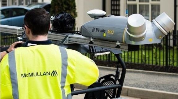
In keeping at the forefront of new surveying technologies, E
McMullan have trialled the vehicle mounted Trimble MX2 with Korec.
The MX2 is a portable spatial imaging system which can be
installed on a vehicle in minutes allowing for speedy deployment and provides
highly accurate positioning information to create geo-referenced point-clouds.
Up to 72,000 accurately georeferenced points per second and
detailed 3D information can be collected in a single pass. This accuracy and
efficiency means time taken to carry out surveys...