We have built an excellent reputation for the collection, analysis and presentation of GIS data which can be incorporated into any GIS design package or modelling software.

Our GIS Services

Data collection

Data collection

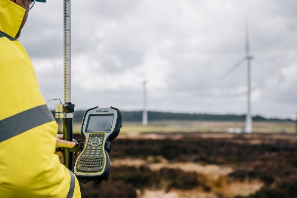
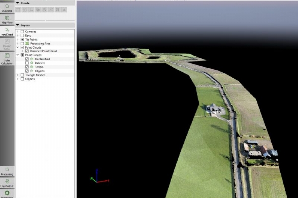
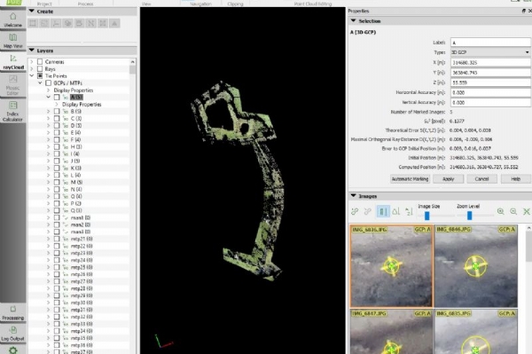
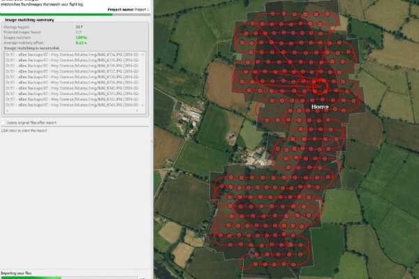
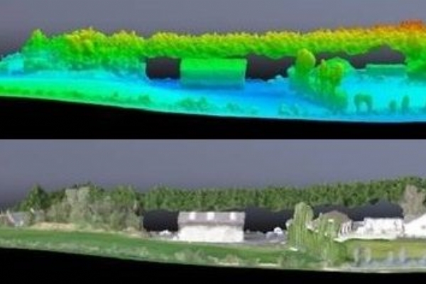
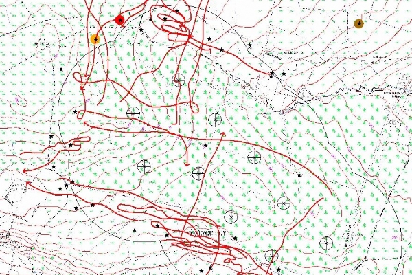
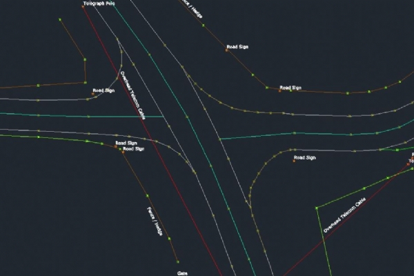
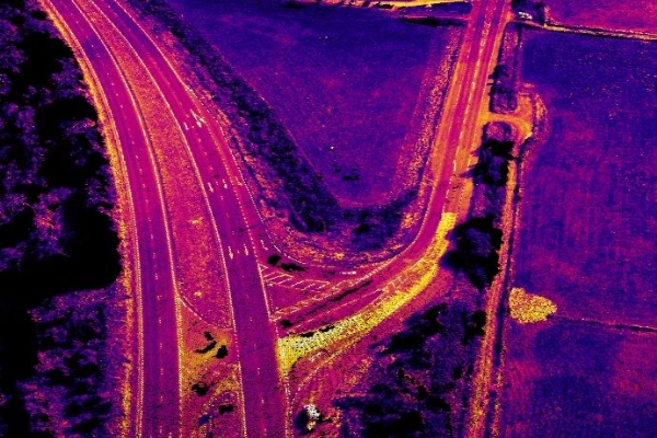
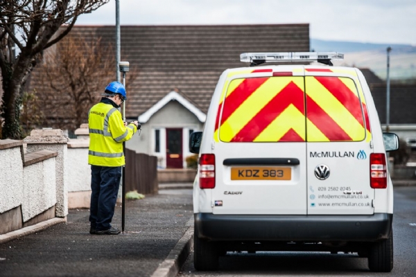
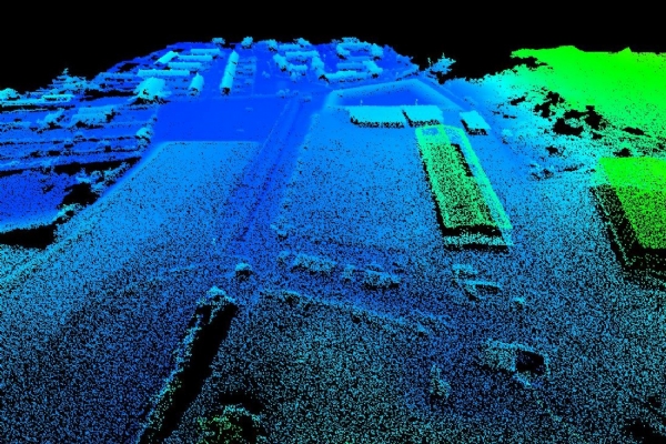
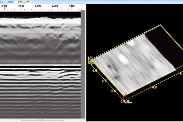
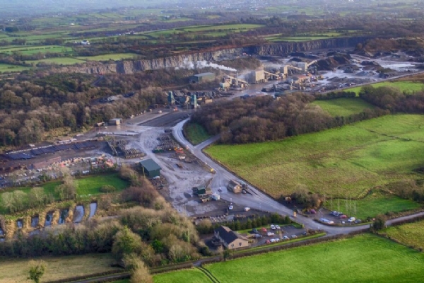
Our team use cutting edge technology to ensure data is collected in a time and cost effective manner with minimum disruption on your site. The decision on how to capture data is unique to each project and is guided by the client's specifications. Entering data directly onto a digital format eliminates the possibilities of error ensuring a more accurate output.

Data Organisation

Data Organisation

Our multi-disciplinary team specialises in capturing, processing and managing geospatial data in all forms. We have the experience and knowledge to find solutions to survey problems from topographical surveys and site surveys, through to complex three dimensional structures and ground surveys, using the latest in survey technology and applications.

Data validation and QA/QC (Quality Assurance/Quality Control)

Data validation and QA/QC (Quality Assurance/Quality Control)

All data should be subject to a post processing phase that may include editing and removal of erroneous data to ensure what remains is correct and relevant. The process is known as Quality Assurance/Quality Control. At E McMullan this process will include development of specific scripts and routines which will enable a more efficient and thorough data checking process.

Data Interpretation and Analysis

Data Interpretation and Analysis

We have extensive experience in searching through large sets of data to find existing GIS data or data with a spatial component that can be setup as GIS data. We combine and analyse client data in new ways to allow for better business practices, such as expanding clients' data, changing the method of reporting and using GIS to create visual representations of the data.

Software Programs

Software Programs

We have over 10 years' experience in digitising data to GIS and all our staff are familiar with GIS software programs including Mapinfo - ArcGIS - Strumap - AutoCAD.


Point Cloud Data

Point Cloud Data

Point Clouds are produced in LiDAR format and can be incorporated into any GIS design package or modelling software. Our team will build 3D models using the data collected. All outputs can be provided in any GIS format, including Shapefiles & AutoCAD.

Case Studies