Surveying

We have extensive experience in conducting large and small scale topographical surveys. Detailed 3D models of any landscape can be produced to a format that suits you.

Our Surveying Services

Trial Trimble MX2

Trial Trimble MX2

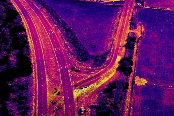
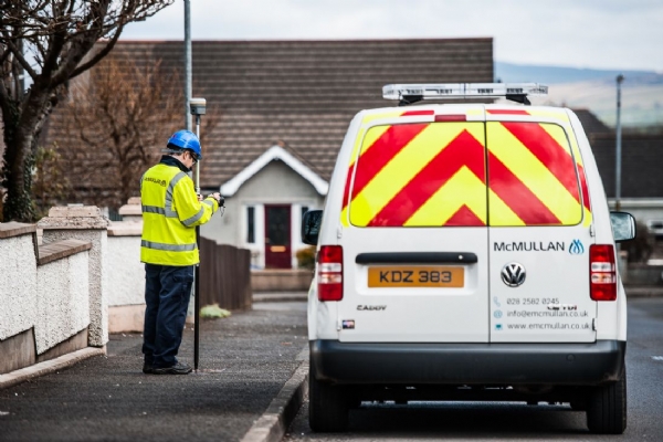
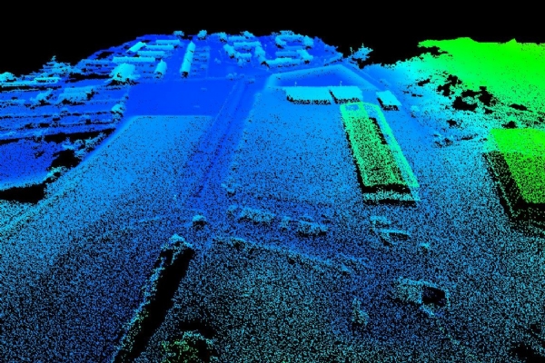
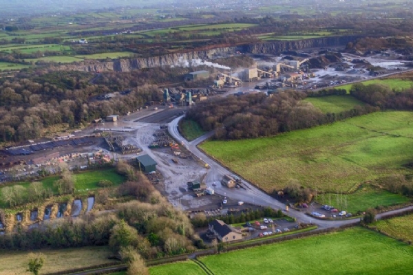
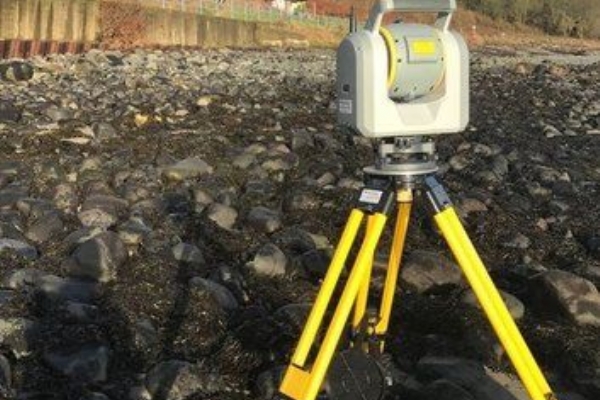
E McMullan Ltd continuously strive to collect the most accurate results possible and as efficiently as possible. To help us provide the very highest quality results, we have added the Trimble SX10 Total Station to our growing range of surveying equipment. This is the latest technology in providing millimetre accurate Pointcloud data and is the world’s first all in one 3D Laser Scanner and Robotic Total Station.


The SX10 combines surveying, imaging and high speed 3D scanning into one complete unit helping us to conduct surveys even more efficiently. As so much information is gathered by the instrument, much less line work will be required in the field.

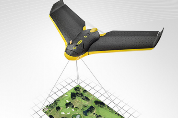
To read more about Trial Trimble MX2, Visit our News Page

UAV Surveys

UAV Surveys

Using the latest UAV technology, we can offer you an accurate topographical survey which has many advantages and applications. The technique requires a minimum of time spent on the ground reducing risk to surveying teams and accompanying staff. Large jobs that once took weeks can now be completed in just a few days.


Visit our UAV Surveys page

Topographical

Topographical

We have extensive experience in carrying out both large and small scale topographical surveys.  No terrain is too difficult.  Detailed 3D models of any landscape are produced capturing all its features including boundaries, rivers, drainage, trees, utility furniture, buildings and overhead cables. All topographical surveys can be produced in the client's specified format.

Route Planning

Route Planning

We are experienced in undertaking pre-survey transport routes for abnormal loads.  Clients will identify hot spots along the journey plan e.g. bridges, road junctions and site entrances and our team will carry out a detailed survey to identify and plot all the possible hazards and obstacles. The information is presented in 2 and 3 dimensions, and exported in a format compatible with client requirements.

Genealogy

Genealogy

We have been involved in graveyard surveying for a number of years. Our dedicated team will respectfully survey your area producing the information, drawings and images required. This data can be used independently, or uploaded on to our Lifetime Data Management Software for easy retrieval and use. We are continually investigating the use of Ground Penetrating Radar technology to identify unused areas within existing cemeteries.

Utility Surveying

Utility Surveying


Working with a number of major utility companies in both the UK and Ireland,
we have gained invaluable experience in utility surveying.  All surveys are carried out using the latest GPS surveying equipment which delivers the required accuracy.  The data collected is uploaded onto the clients GIS platforms.


Case Studies