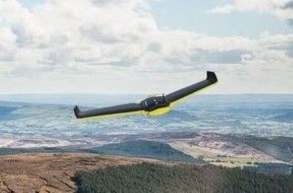
E McMullan Ltd now operate a Sensefly eBee UAV
to enhance our growing range of surveying techniques. The Sensefly
eBee is a fully integrated system which produces GIS ready data fit to be
used with a wide range of geospatial programs. Sites which have
proven difficult or dangerous to access can now be accurately, safely and
rapidly surveyed using the UAV.
UAV surveys gather a much wider range of information in one flight
than is obtained from a standard ground survey and can be provide...