Case Studies
Project Overview
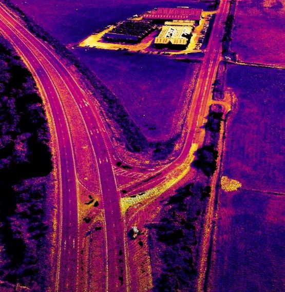
- Title: A6 Dual Carriageway
- Sector: Construction
Description
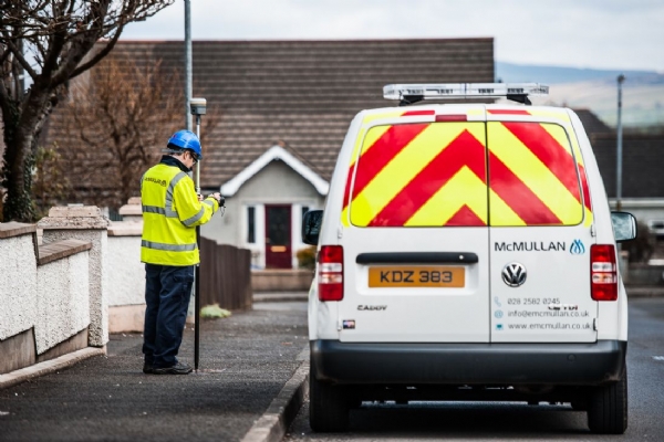
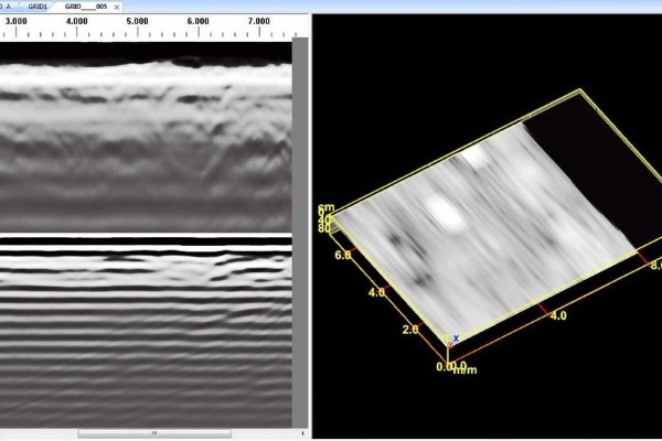
All our topographical surveys can be produced in a format specified by the client, using the latest technologies detailed surveys can be conducted in a fraction of the time and with minimum disruption to the client.
Client Situation
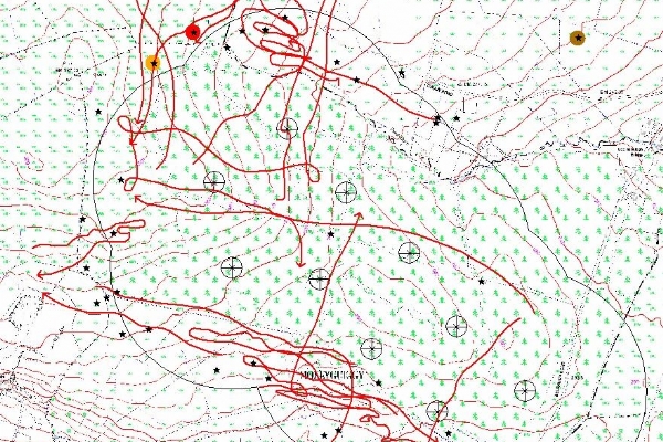
The client requested a full UAV topographical survey of a 14 km corridor along a proposed route of the new carriageway, this would allow them to examine the topography of the proposed route and develop a detailed design before works commenced.
Solution
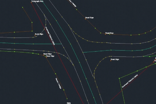
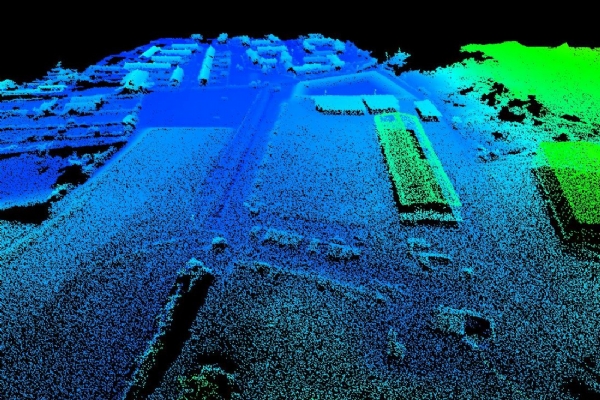
EMM used their UAV to capture the data needed in a fraction of the time projected, the data was processed and supplied to the client in a range of formats including LiDAR Point Cloud, AutoCAD deliverables and orthomosaic image of the full route. Using the drone technology to capture the data meant the project planning phase was expedited more efficiently saving the client valuable time and money.
"The safety and quickness of turnaround of the project was of utmost importance, working with the team at E McMullan Ltd the work was carried out professionally and efficiently. Their technical support for using the post flight data and point cloud in house was integral to the success of the project". David Slevin - Graham Construction