Case Studies
Project Overview
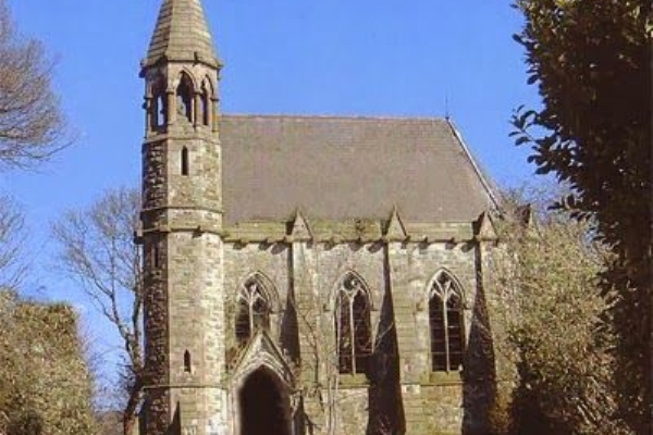
- Title: St Marys Parish - Rasharkin
- Sector: Community
Description
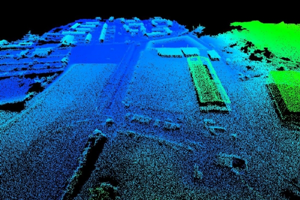
The decision on how to capture data is unique to each project and is guided by the client's specifications. In this case the information required could best be gathered through topographical survey.
Client Situation
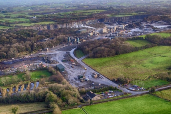
The Parish requested the implementation of a Cemetery Management Software system which required a topographical survey of the cemetery to be conducted to provide the fundamental information required for the system.
Solution
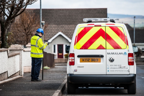
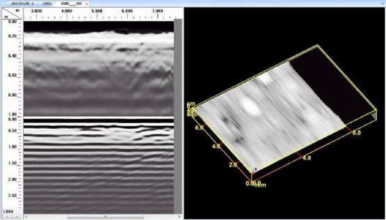
Our team undertook the topographical survey of the complete cemetery using all the latest GPS technologies including using UAV to capture the extremities and features necessary for the survey. Mobile survey kits were used to collect the individual grave information. The client now has all the information required to set the baseline stats for the software and is able to access and manage all records at the touch of a button. A Ground Penetrating Radar survey was undertaken as part of the trialling of the latest technology to assist with the identification of "free space" or unused ground within the cemetery.
"The service provided by E McMullan Ltd was both fast and efficient, with very little disruption; we now have a robust cemetery management system that allows us to efficiently manage our cemetery."