Case Studies
Quarries
Project Overview
- Title: Patrick Bradley Ltd. Topographical Quarry Survey
- Sector: Quarries
Description
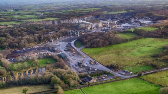
E McMullan UAV Team were tasked by Patrick Bradley Ltd. Quarry to carry out a full topographical survey of the quarry and surrounding grounds, and to produce an accurate 3D model of the site. A high resolution image of the entire site was also required.
Client Situation
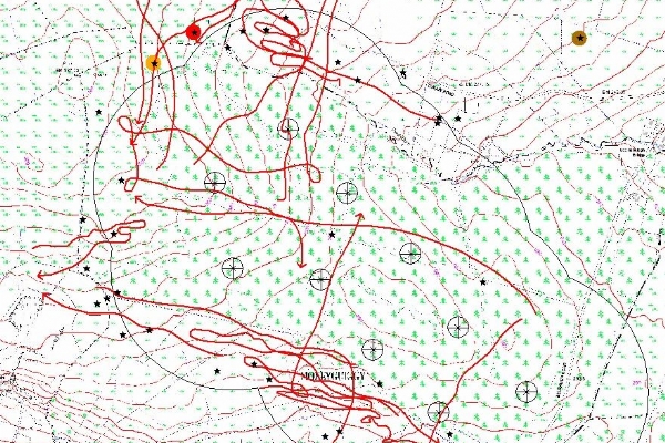
The data to be produced would be used for volumetric, area and cross section calculations to establish the total value of the site. The full topographical survey of the 75ha site had to be completed quickly and safely. It was decided that a Sensefly eBee UAV would be used to complete the topographical survey.
Solution
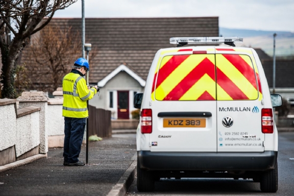
Before the flights took place, 12 Ground Control Points (GCPs) were established at the quarry and surrounding fields using Trimble GPS Rovers on the VRS Now Network, producing accurate results of ±20mm. These accurate GCPs would be used when processing to provide accurate height data for the project.
The use of the UAV ensured minimum time was spent within the quarry, greatly reducing the health and safety risk in what is a high risk working environment. A total of 1 hour was spent on site.
The flights were pre-planned within our flight software and a safe take-off and landing area was identified outside of the quarry. Two 35 minute flights were planned, flying both North-South and East-West, with an 80% overlap in the images, ensuring full and detailed coverage of the site.
A total of 560 high resolution images were captured with the Sensefly eBee during the flights. The image data was processed along with the accurate GCP data using Pix4D photogrammetry software, with output data produced to Irish Grid.
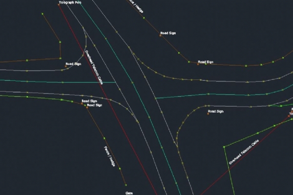
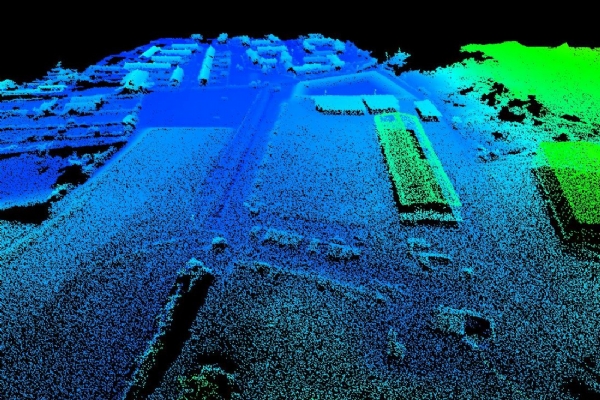
Data produced of the site included a 3D Point Cloud, 0.2m Contours, 5m Spot Height Grid, 3D Polylines of top and bottom cliff faces and a detailed Digital Surface Model (DSM), with the above ground features e.g. buildings, vehicles and vegetation removed from the data to produce a terrain only dataset.
The DSM was used to calculate volumes of stockpiles, total area of the quarry floor and longitudinal cross sections of the site.
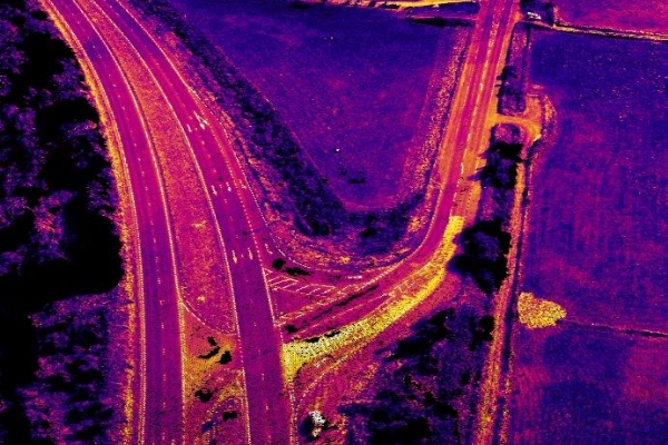
A full orthomosaic image was produced of the site, which involved stitching together the 560 images to produce one large high resolution image of the site. This image was produced geographically to Irish Grid, so that it could be draped onto the data within CAD modelling software.
A high resolution aerial image of the site was also captured with our Inspire 1 Pro quadcopter UAV and a Zenmuse X5 4K Camera.All data was processed and delivered to Patrick Bradley Ltds Quarry within 4 days of the initial meeting.